

Learn more about the
Framework Plan
Touch Screen Anywhere
to Explore the Framework Plan
The Vision for
Complete
Communities
Introduction
A Singular project, a long-term commitment.
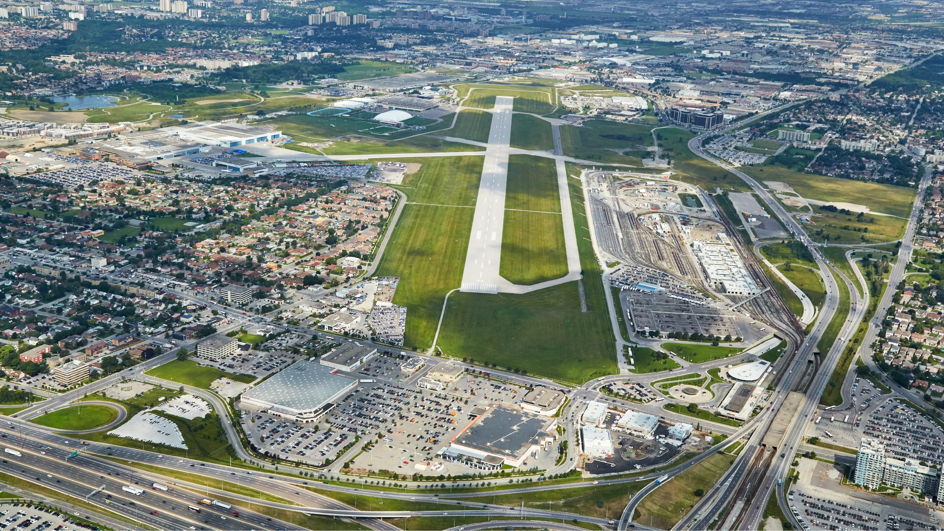
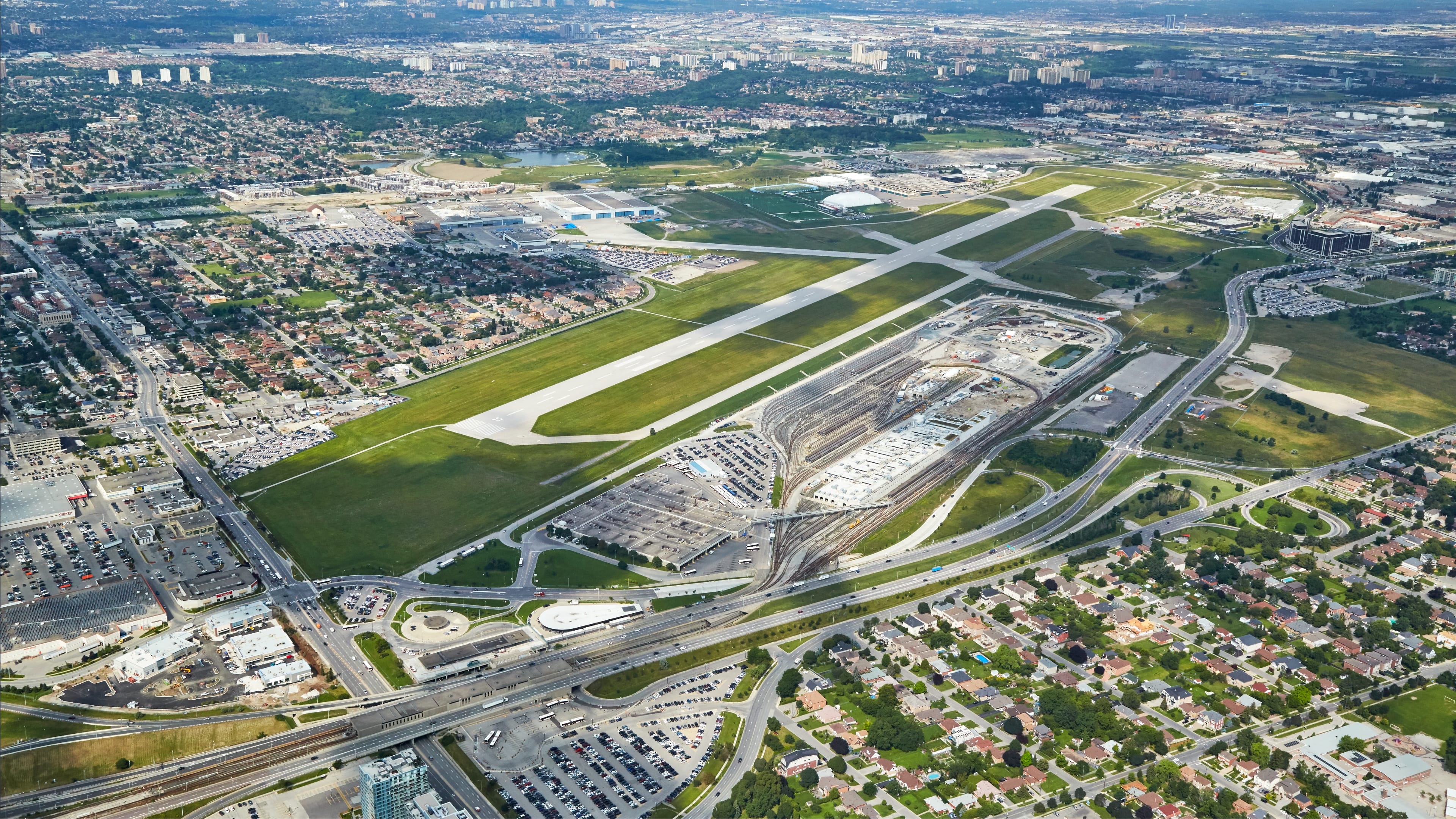
Established in 2018 to lead the development of these lands, Northcrest Developments is tasked with a major opportunity to reconnect an area of the city. Over the coming decades, Northcrest will transform 370-acres of largely undeveloped lands into a series of neighbourhoods.
Northcrest Developments is a wholly owned subsidiary of Public Sector Pension Investments (PSP), a federal Crown Corporation and one of Canada’s largest pension investment managers.
The Vision for
Complete
Communities
What we heard from
the community
and Sports
like community centres and parks
Cultural Buildings
affordable
the development
are more sustainable
The Vision for
Complete
Communities
Our approach
that can be shared with
community buildings
facilitate spaces for public gathering
affordable options
better and differently
in how we build and what we build with
The Vision for
Complete
Communities
Framework Plan
Overview
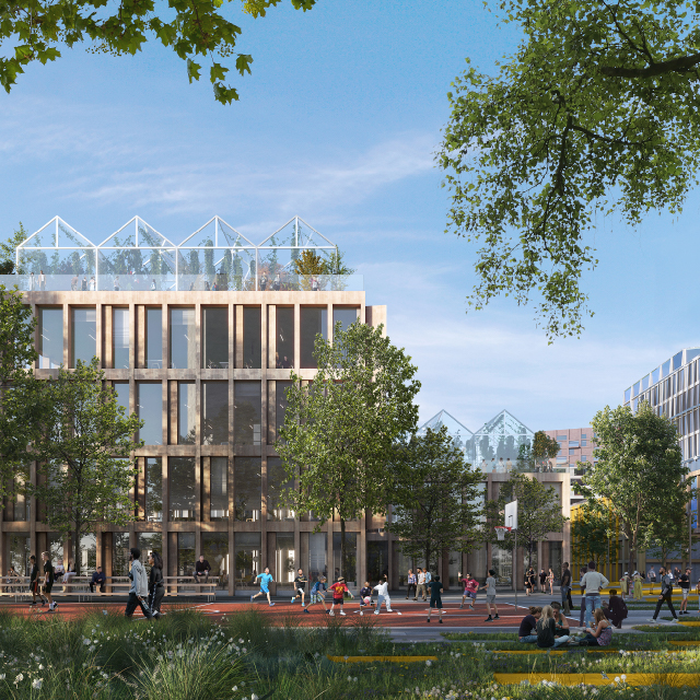
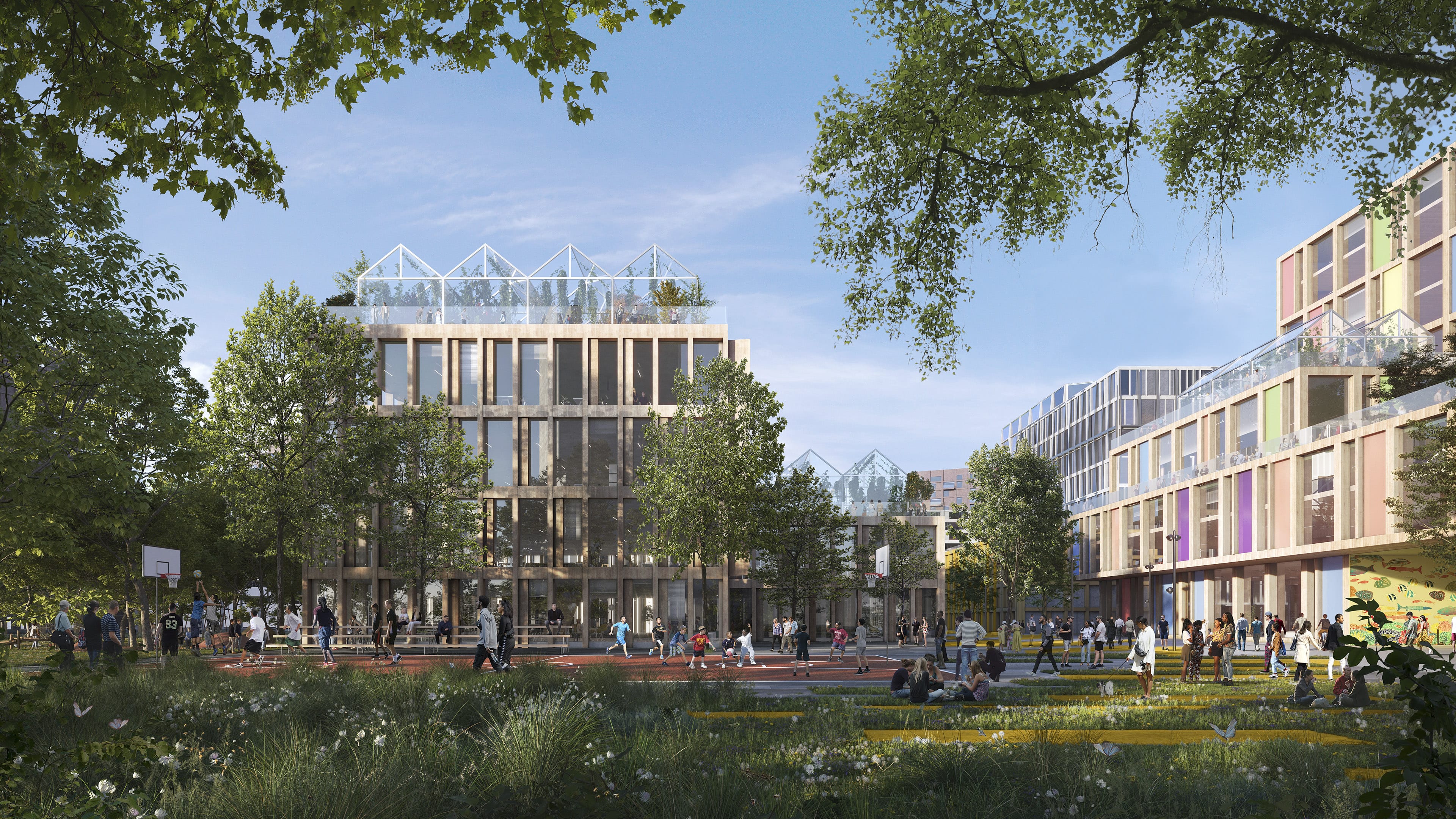
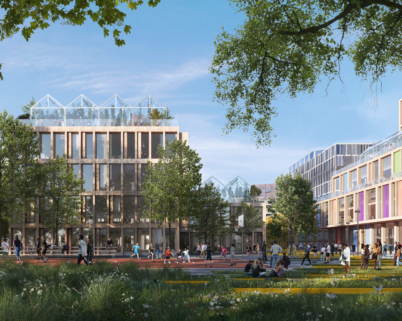
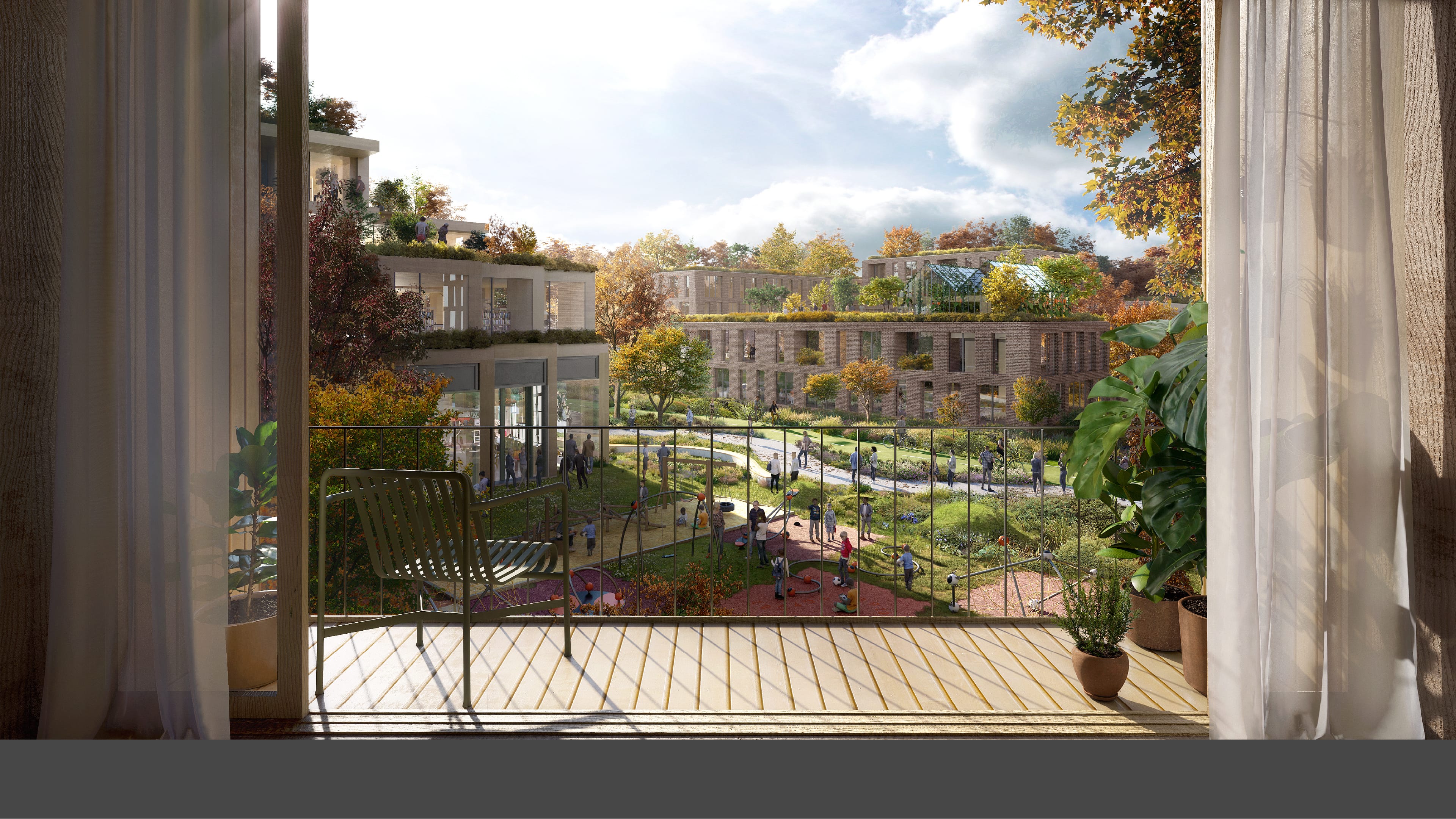
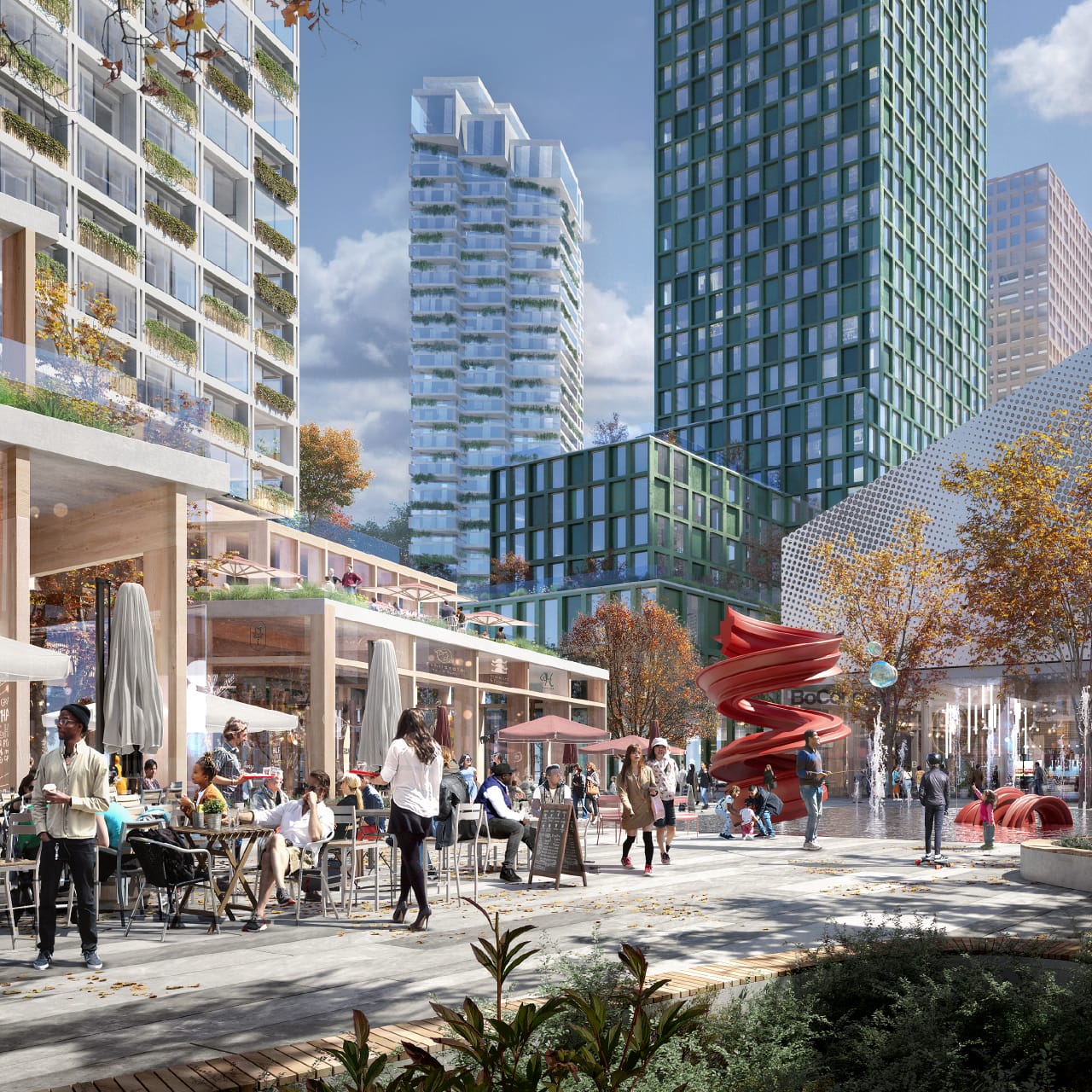
We are creating a place where generations of Torontonians can live, work, play, explore and innovate. A place where people can establish roots and thrive, featuring:
New neighbourhoods that are vibrant and animated where communities can thrive.
Buildings and public spaces that are inspiring and delightful places for residents, workers, and visitors.
A range of housing options to support varying incomes and life stages.
Amenities, services and facilities including places to shop and grocery stores, schools, playgrounds, recreation and childcare facilities.
People’s daily needs are met locally, by walking, rolling, cycling, and relying less on personal vehicles.
Other community services and facilities that support residents through all stages of life.
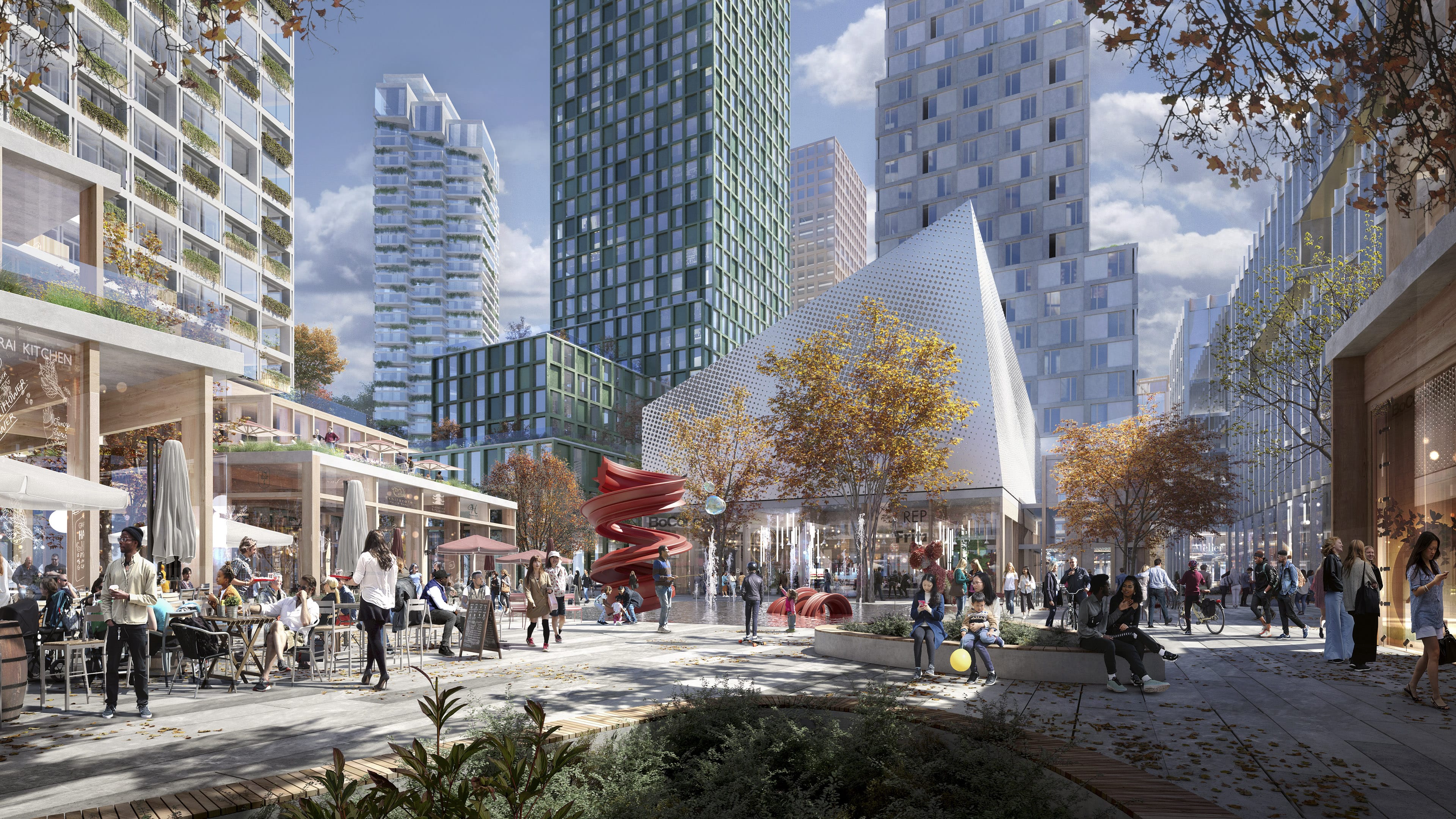
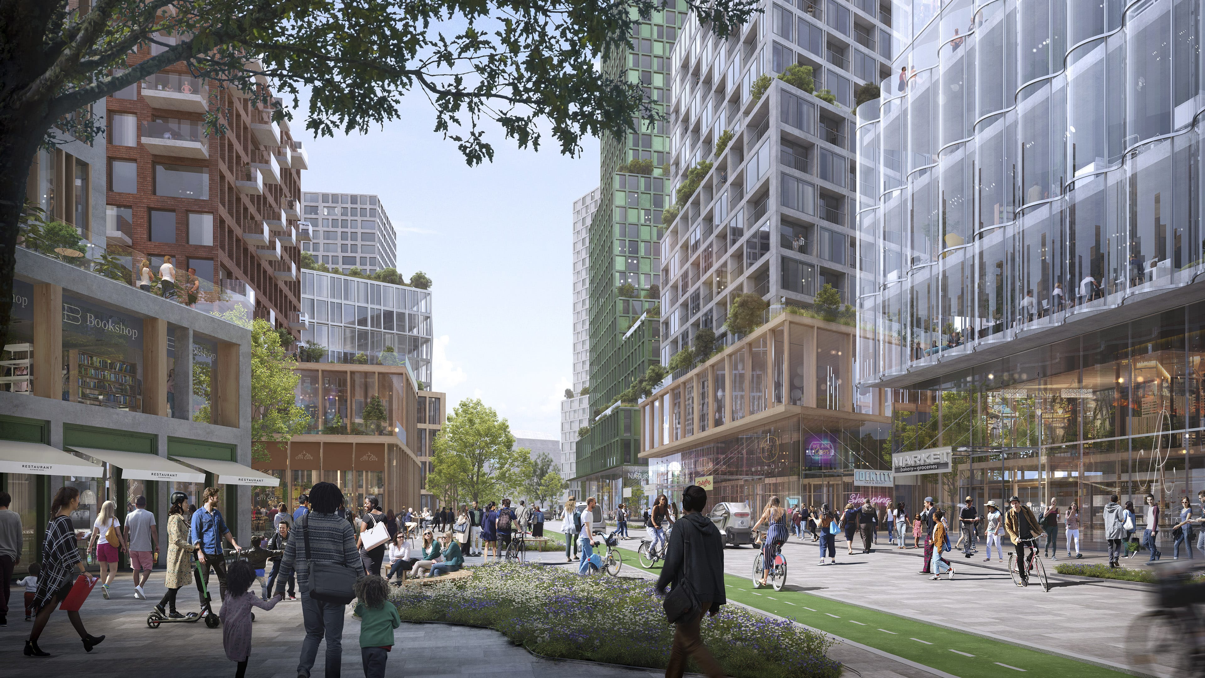
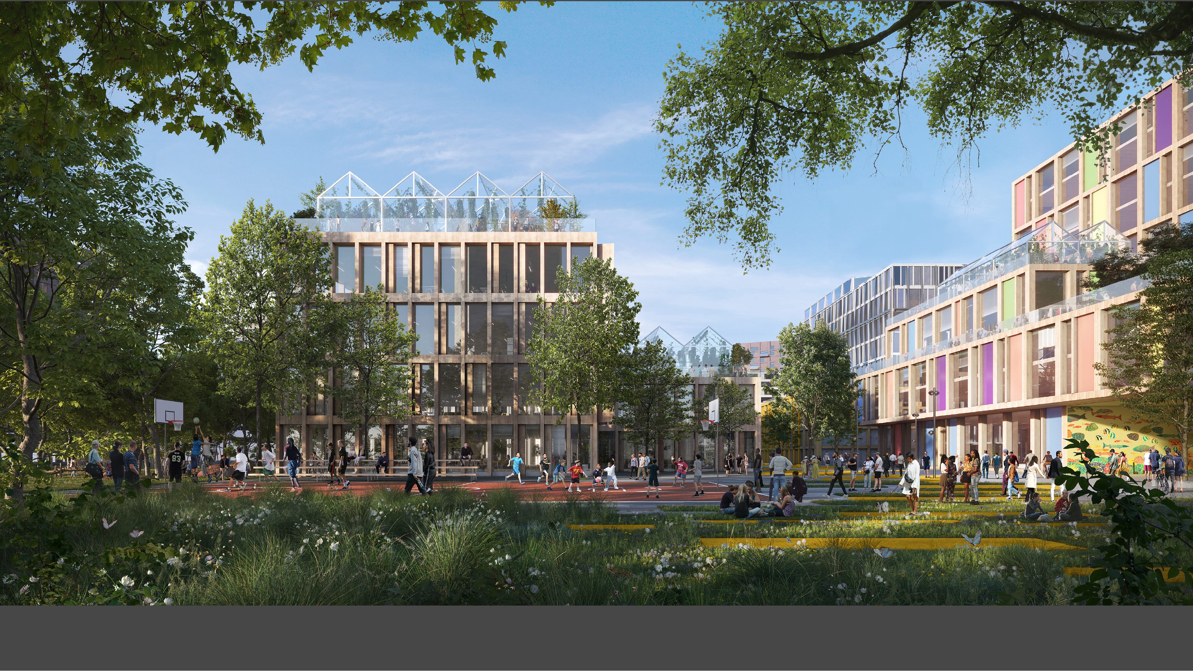
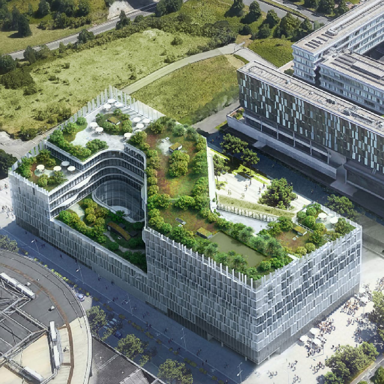
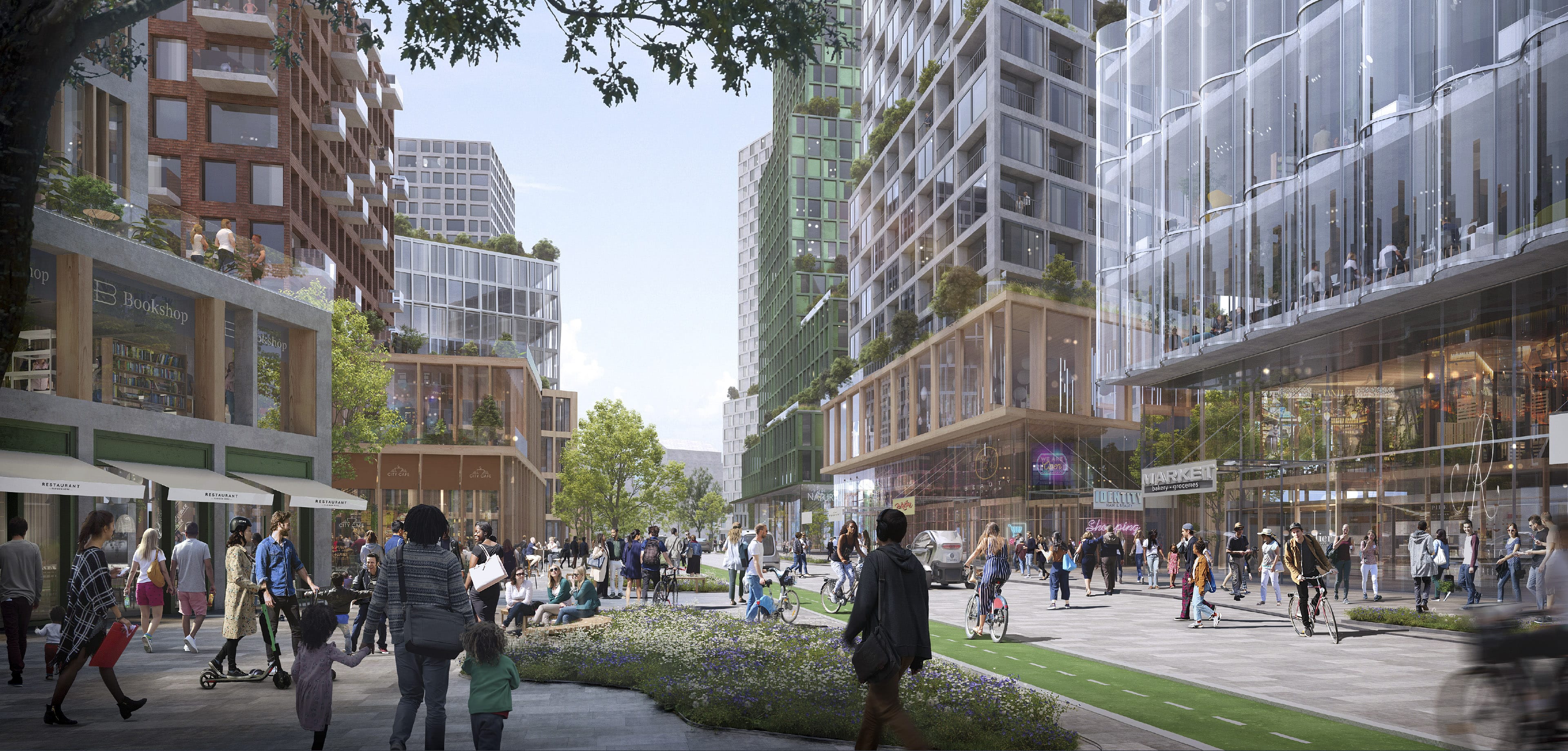
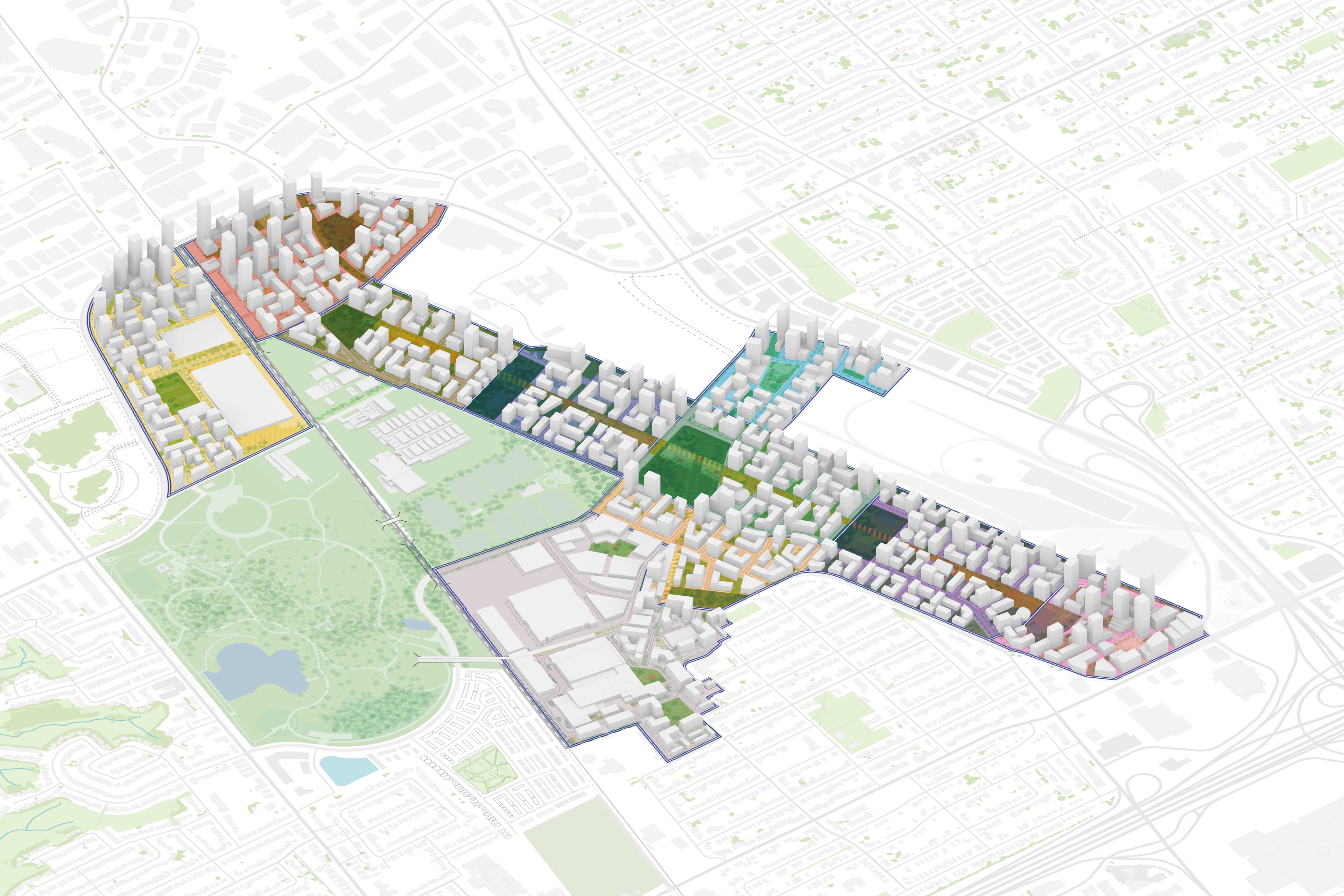 Framework Plan and Massing
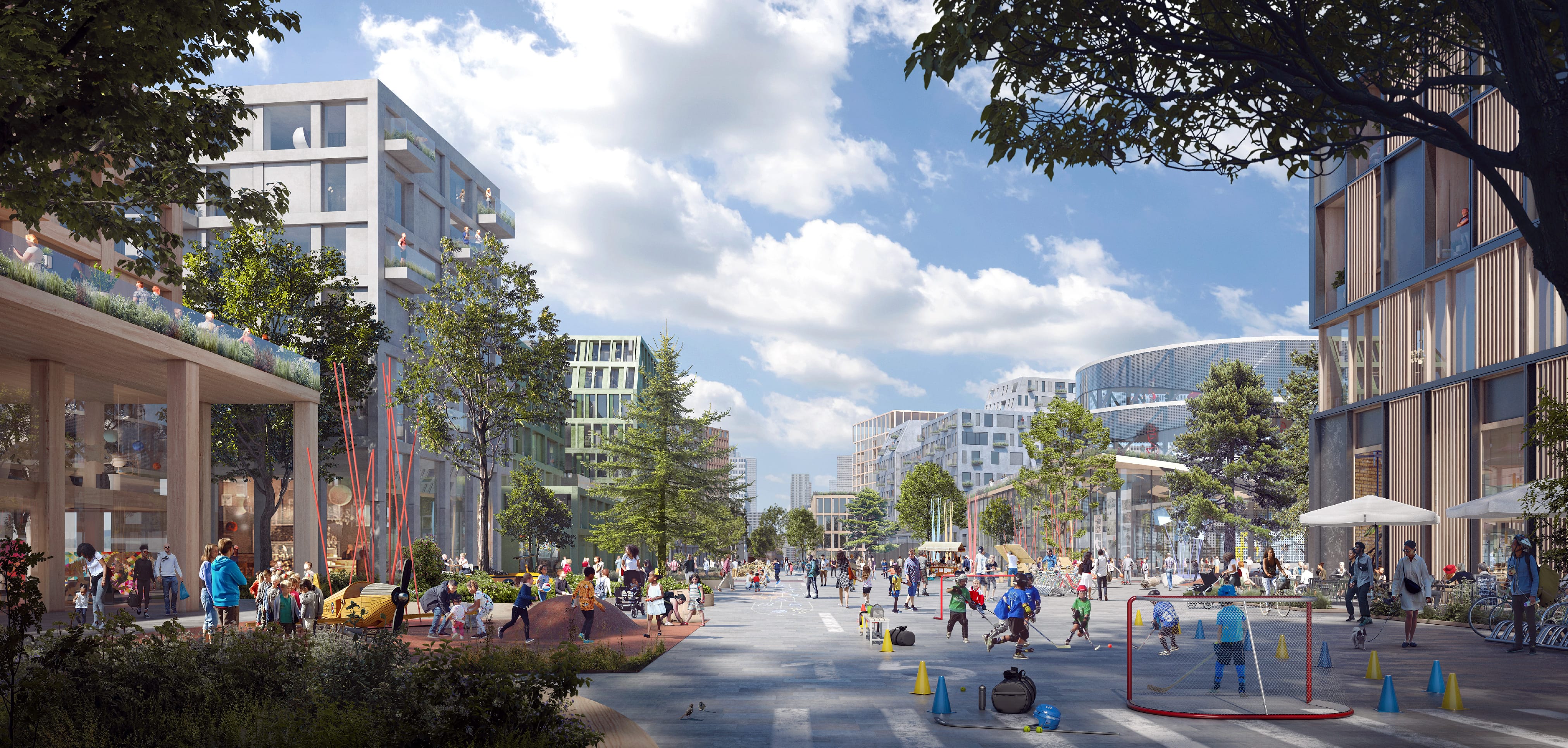
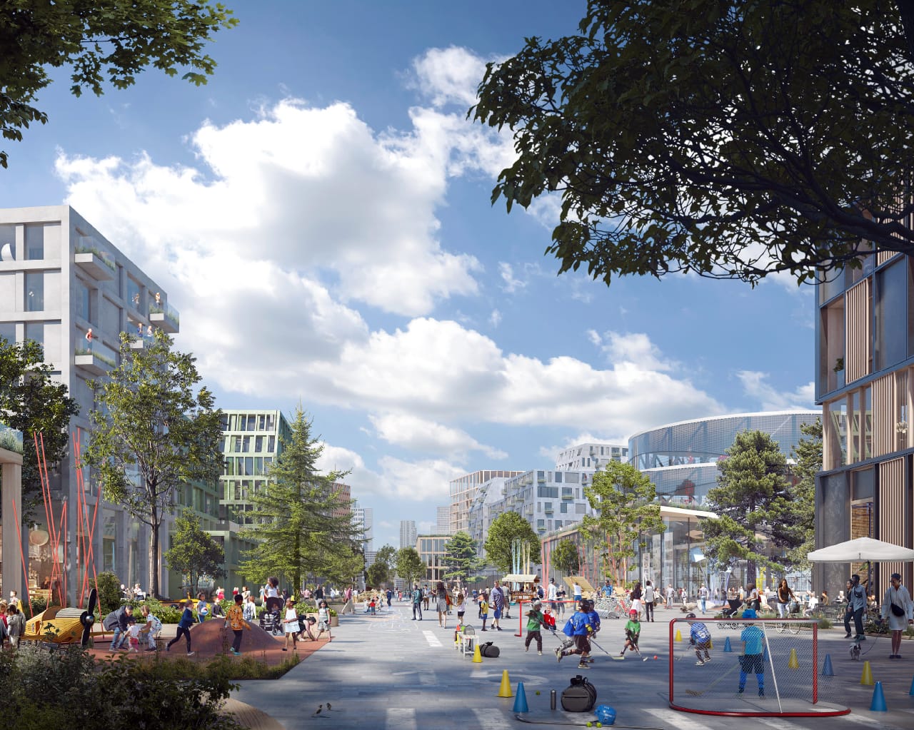
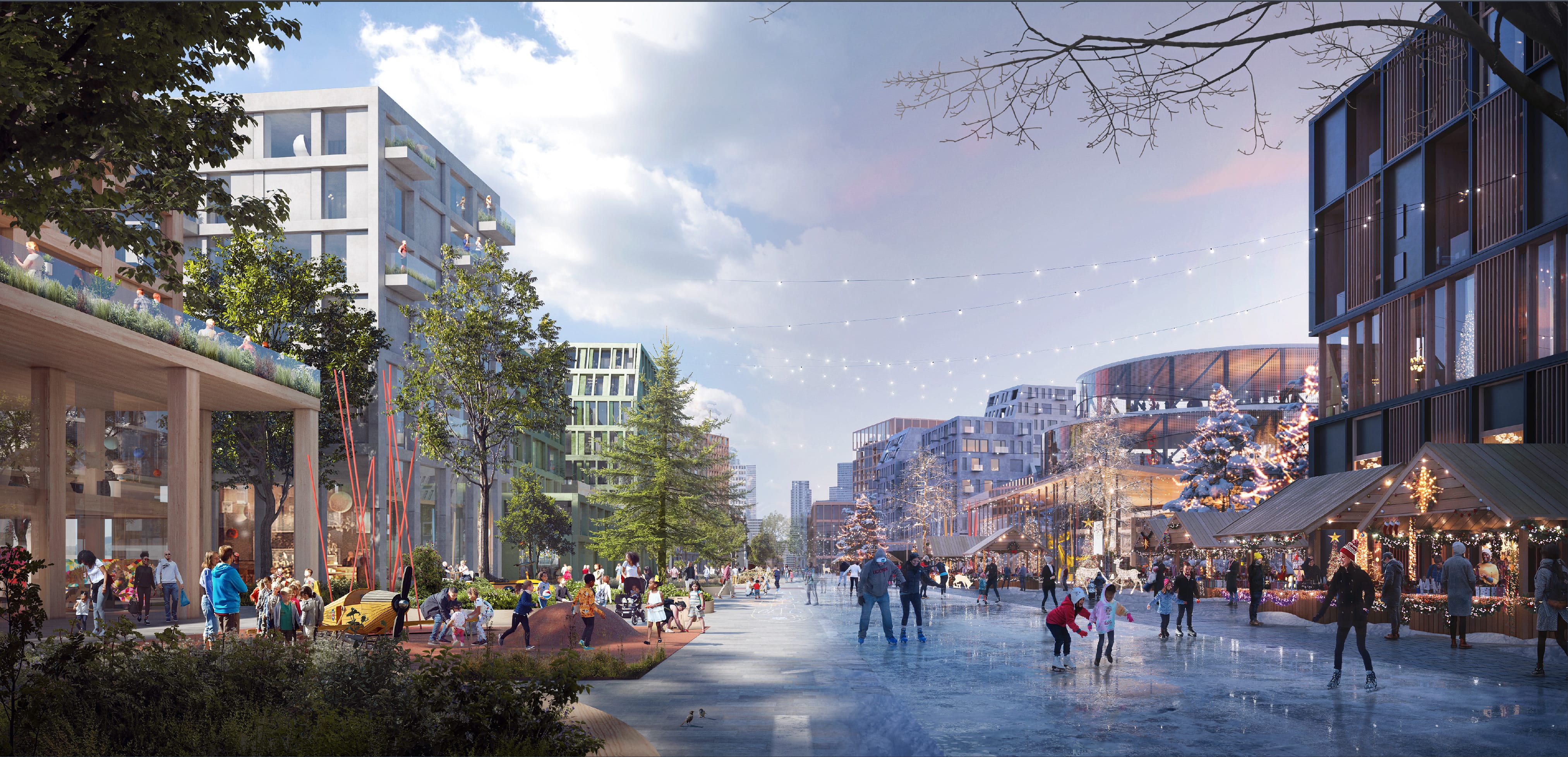
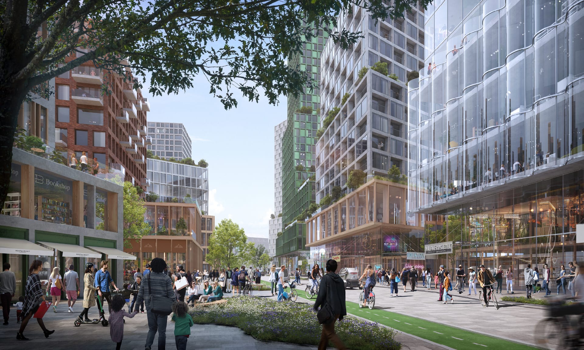 Rendering: Main Street in the Wilson District
The Vision for
Complete
Communities
Our Framework
Principles
The vision for these lands relies heavily on providing the following principles to all:
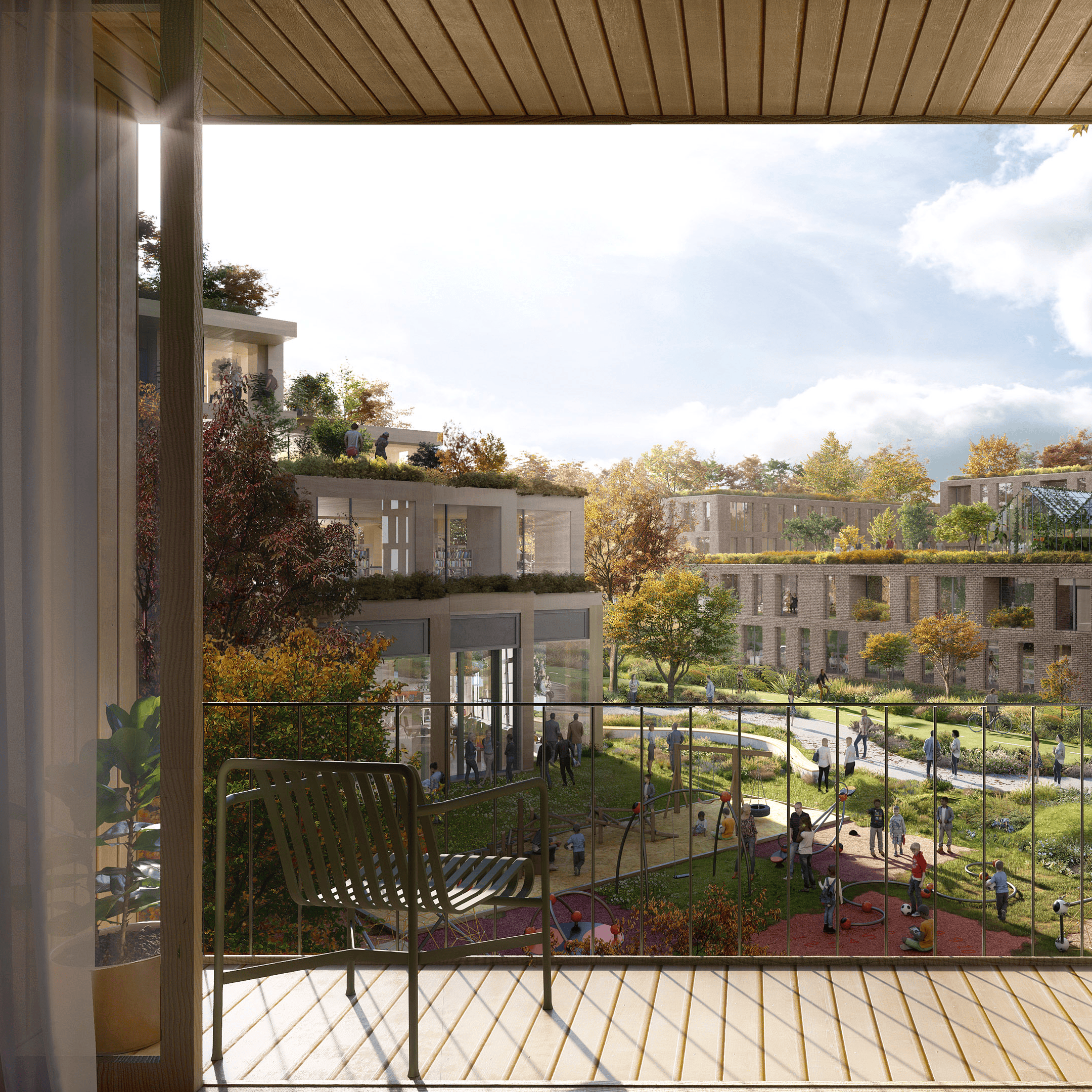
Establishing Complete Connected Communities
Everything from shops to schools, parks to places of work will be within a short walk, cycle, or roll for those living, working or visiting these neighbourhoods.
Achieving Inherent Sustainability & Resilience
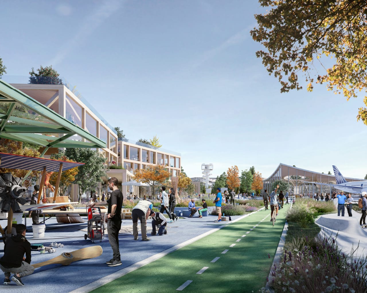
From reusing existing hangar buildings, to embracing clean energy and introducing new ways to prevent flooding, we will consider sustainability and resilience in everything we do.
Cultivating City Nature
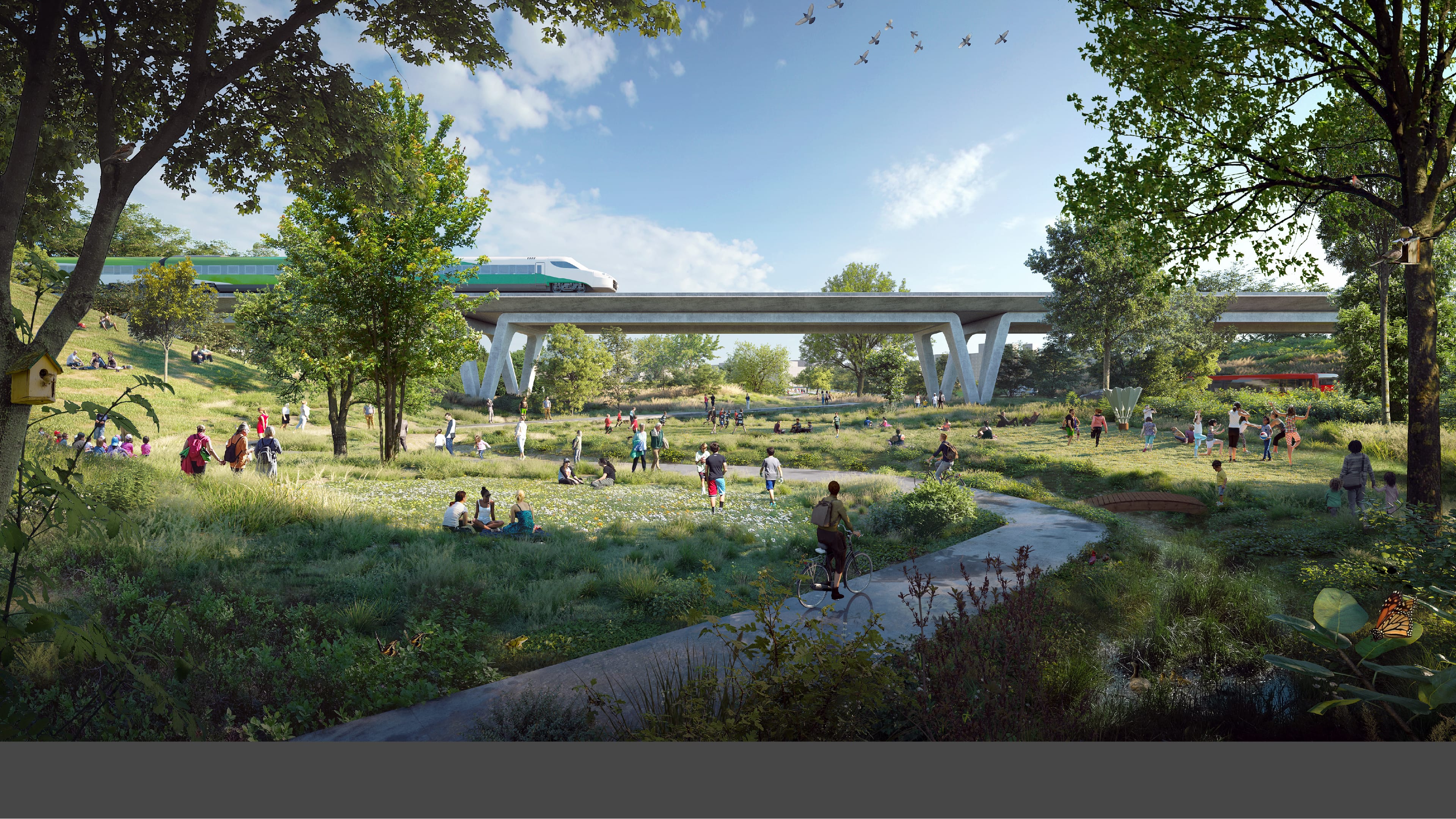
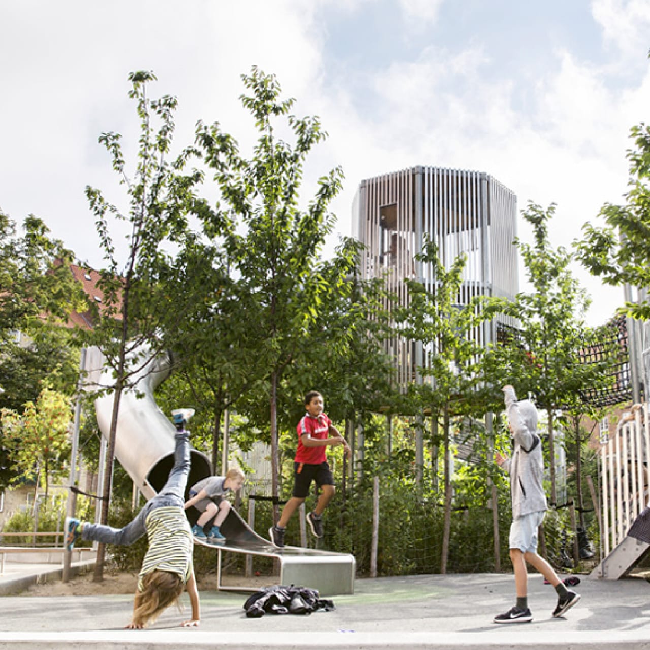
We will extend green connections to existing parks and bring nature into the new neighbourhoods through a network of green spaces that are rich with biodiversity.
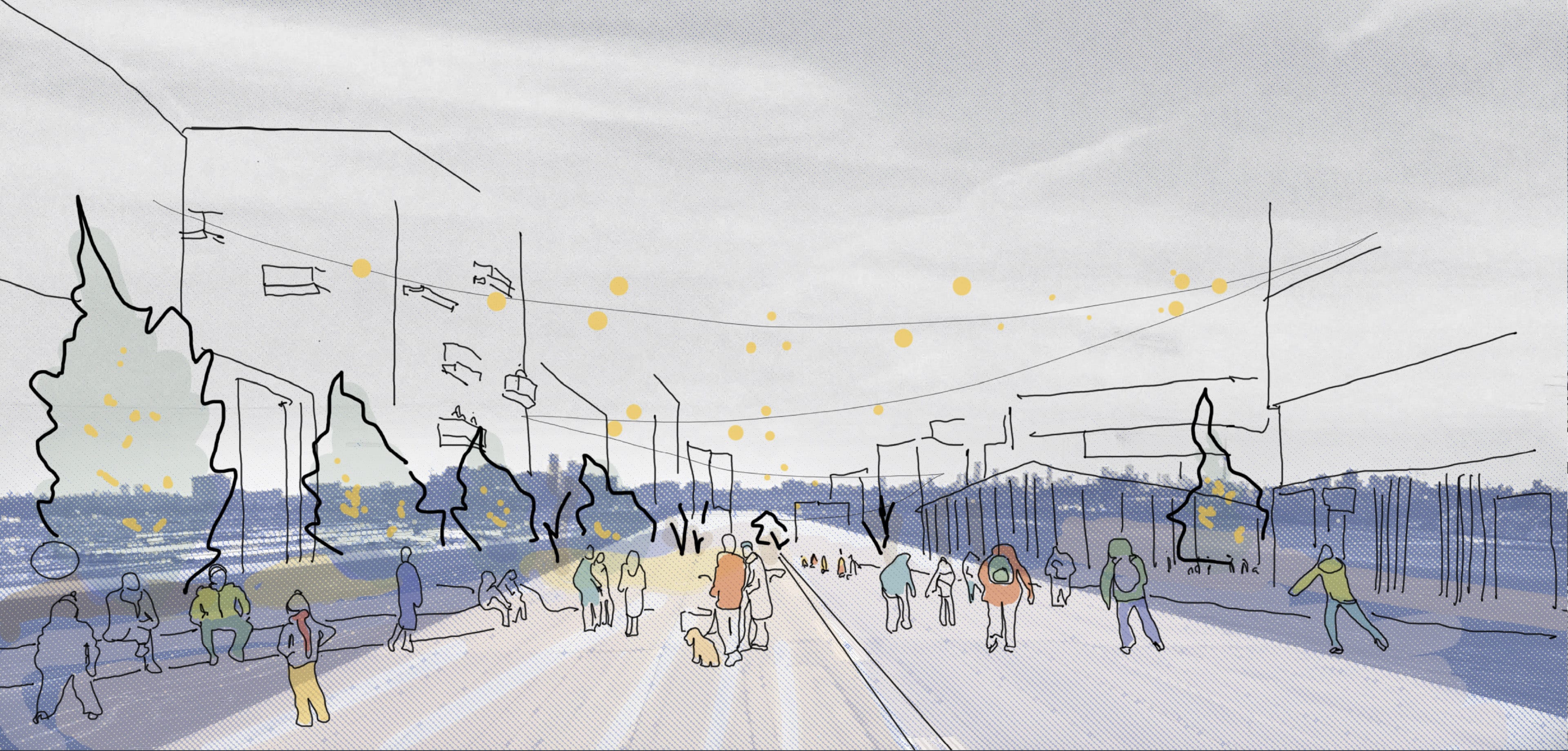
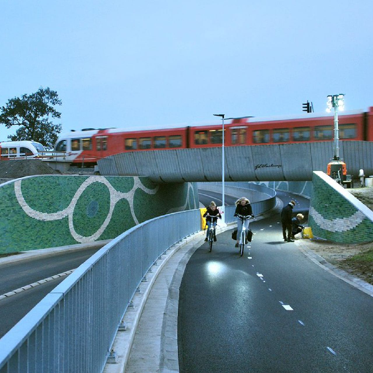
Connecting People & Places
By adding new streets, cycling routes and rail crossings, our neighbourhoods will be stitched back into surrounding areas, allowing people to move around easily, with the choice to walk, roll, take transit or drive.
Embedding Equity & Accessibility
We will create inclusive neighbourhoods and destinations that offer something for everyone, reflecting and celebrating the diversity of our city.
Honouring the Uniqueness of the Place and its People
Our Plans will honour the legacy of aviation and reflect histories of Indigenous stewardship, while being shaped by the dreams of those who call these lands home.
The Vision for the
Reimagined
Runway
Introduction
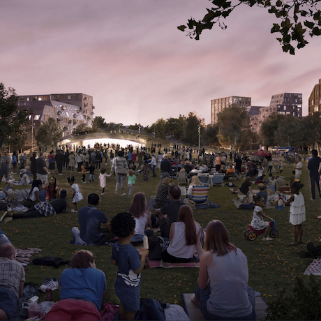
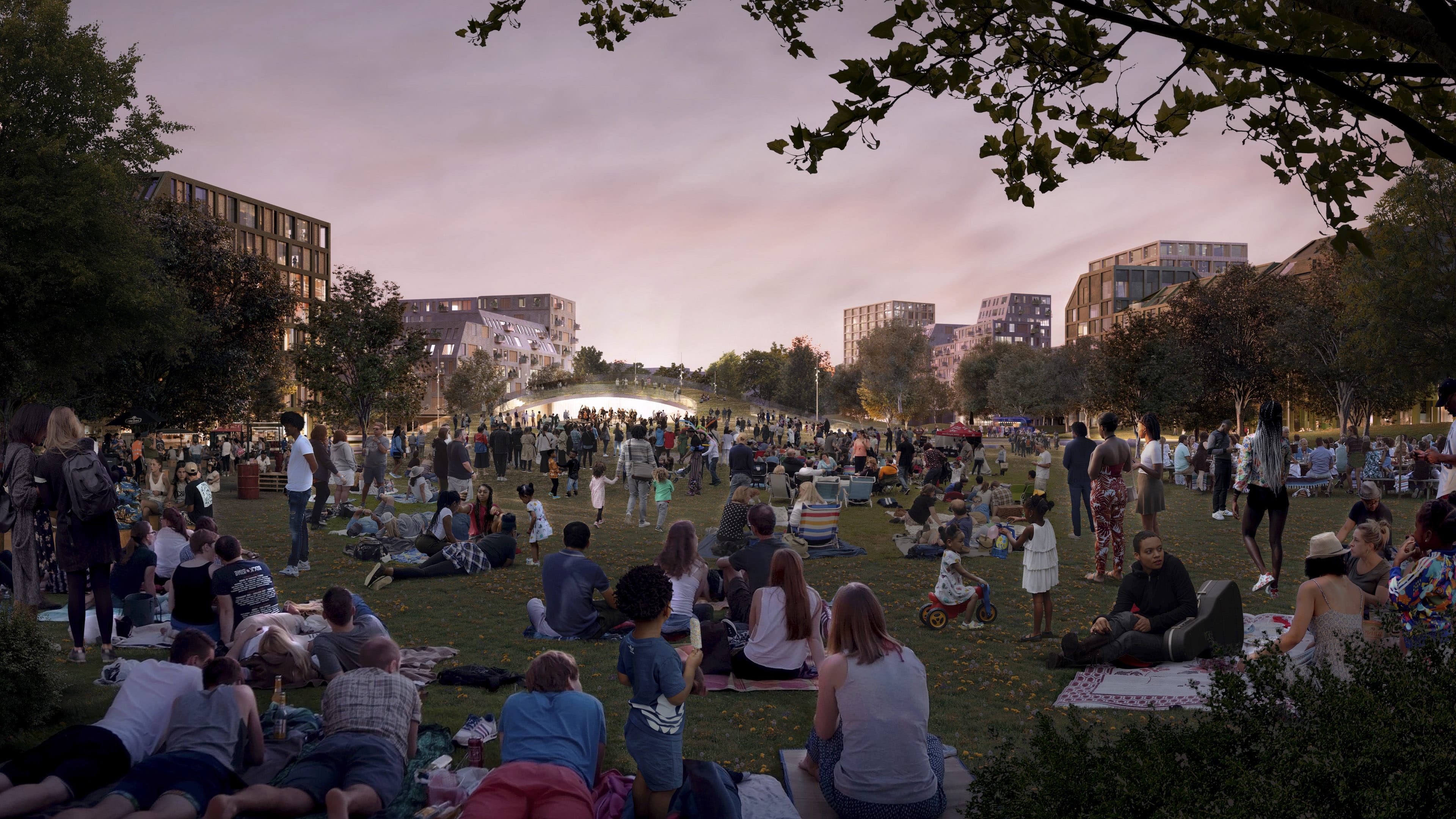
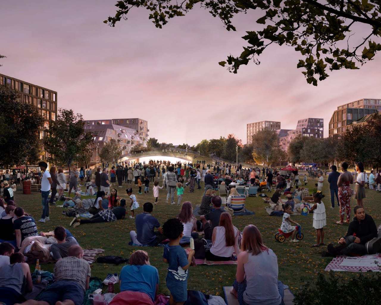
The Runway is reimagined as a place where the community can come together.
The reimagined Runway will be a continuous pedestrian corridor and will serve as the spine of community and social life, with a series of vibrant public spaces linked together, reinterpreting the Runway's linearity.
The Vision for the
Reimagined
Runway
What we heard from
the community
amenities and safety
and culture!
open to everyone
all seasons
young and old
The Vision for the
Reimagined
Runway
How we improved
the plan
to use, all year round
retail and community uses
that line the Runway
amenity for those living in the
area or the city
the Runway
The Vision for the
Reimagined
Runway
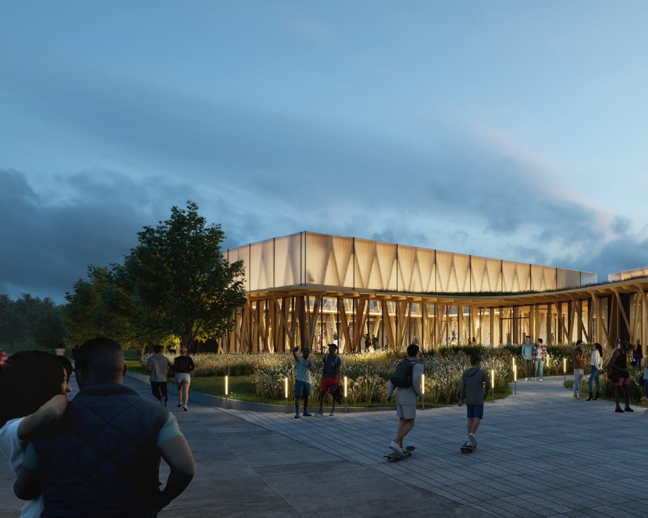
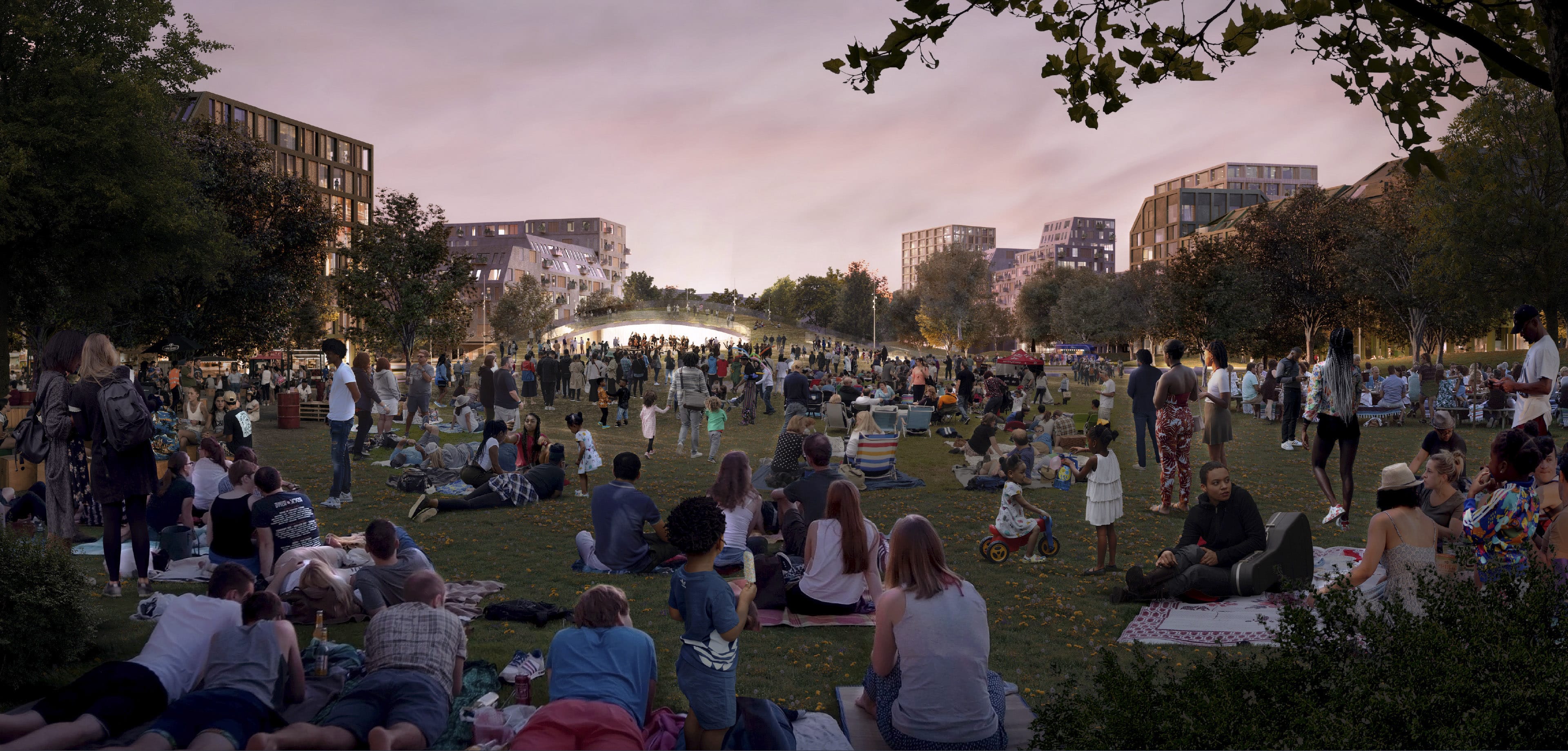
The Runway Today
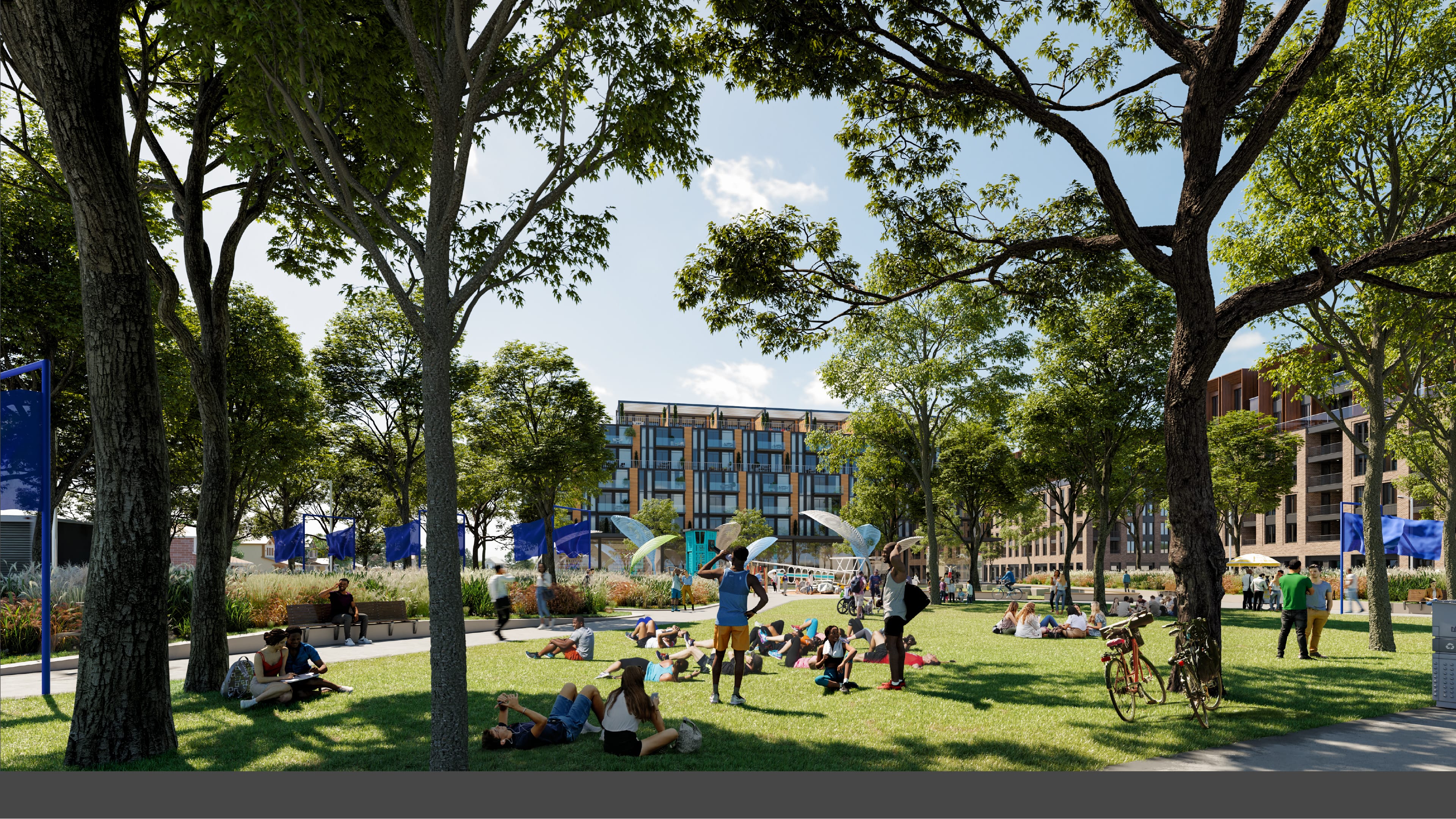
The development of the Runway will happen, over time. In the meantime, the Runway will offer a variety of programming and community gathering opportunities, and spaces for active and passive recreation.
It will be both a neighbourhood amenity and a destination and will be a place unlike anything in Toronto.


 Event photos from the Play on the Runway
The Vision for
Sustainability
and Resilience
Introduction
The site offers a unique opportunity to design healthy communities that are more resilient to climate change and support reduced carbon emissions.
looking at the neighbourhood
The Vision for
Sustainability
and Resilience
What we heard from
the community
play spaces
and reduce car dependence
manage stormwater
Downsview Park
The Vision for
Sustainability
and Resilience
Our approach
and open spaces
water between parks and open spaces
creates newly enriched, biodiverse,
and resilient environments
The Vision for
Sustainability
and Resilience
Sustainability
Across Scales and
Urban Systems
Sustainability and resilience are core to the Framework Plan. Open Space, Mobility, Community and Infrastructure have been considered holistically to maximize opportunities to advance sustainable development.
Future designers will build on this framework, finding further ways to improve the area’s performance at the District, Site or Building scale.
Framework
District
Site & Building
Community and Land Use
Mobility
Green Space and
Green Infrastructure
Infrastructure
and Energy

The Vision for
Sustainability
and Resilience
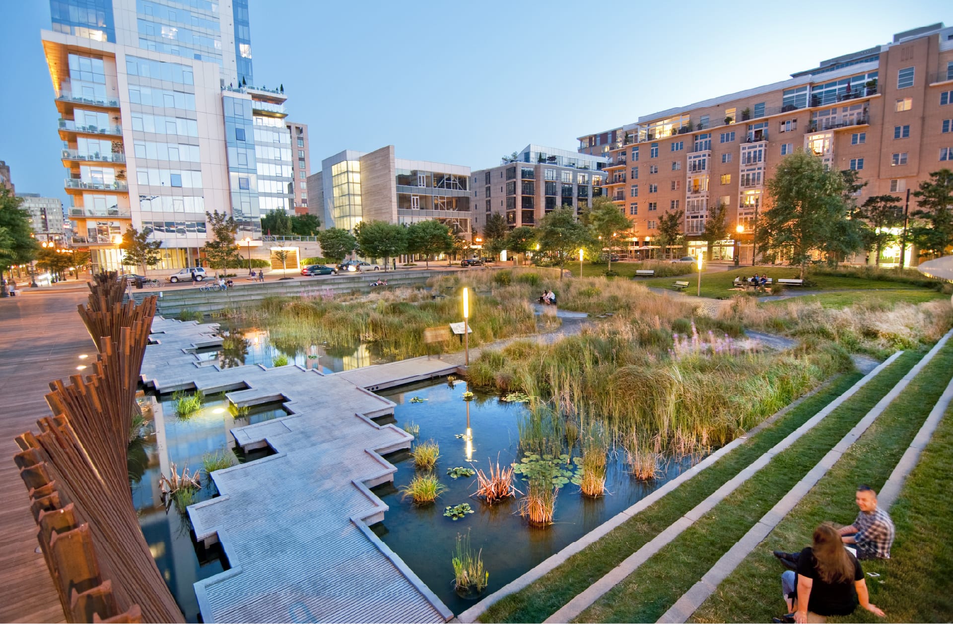
Green Infrastructure
& Stormwater
Management
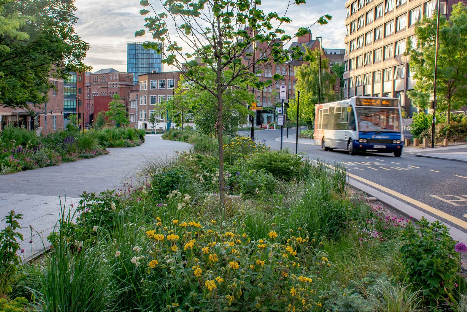
Green Infrastructure is a surface and nature-based approach to stormwater management design and will be integrated throughout the site.
Green Infrastructure supports stormwater management and improves microclimatic conditions, ecosystem health and recreational functionality. It manages and retains rainwater where it falls during "everyday events" capturing and treating it as a resource that nourishes plant life.
In extreme rainfall events water flows to designated parks or open spaces which prevents flooding and reduces downstream impacts. Parks and open spaces return to normal conditions quickly.
The Framework Plan’s stormwater management strategy uses all lands, including public and private parks and open spaces, green roofs and courtyards, to contribute to stormwater management.
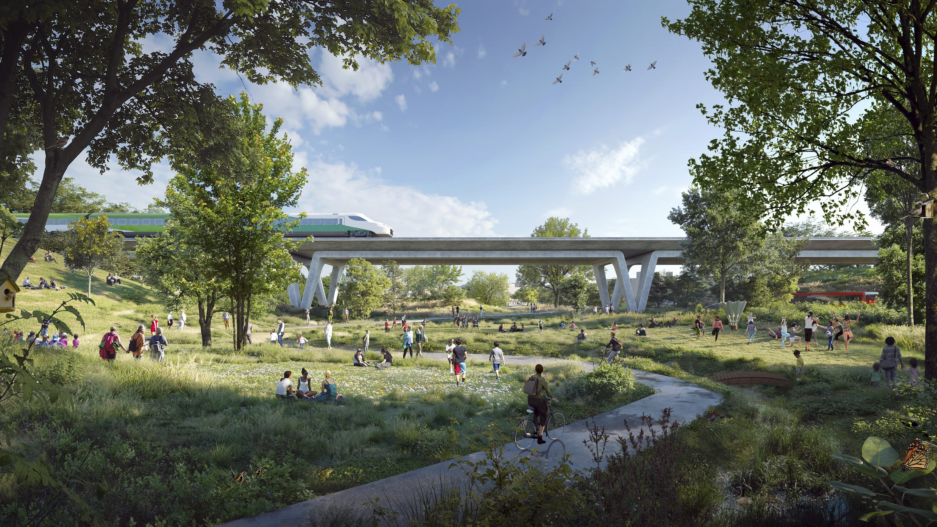
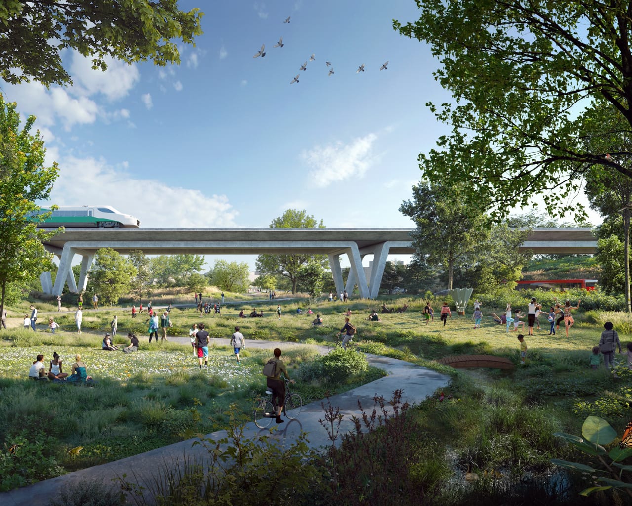
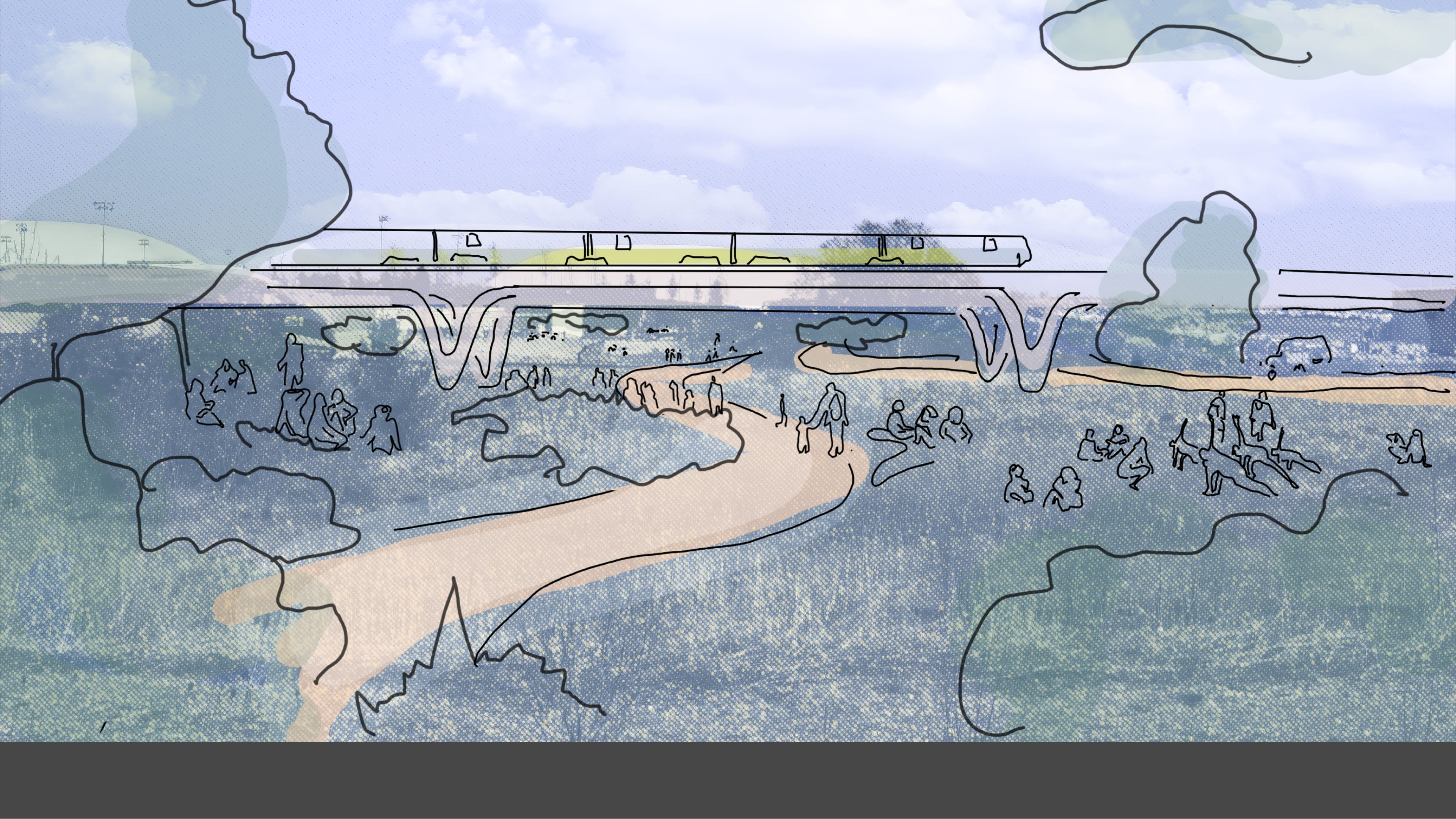
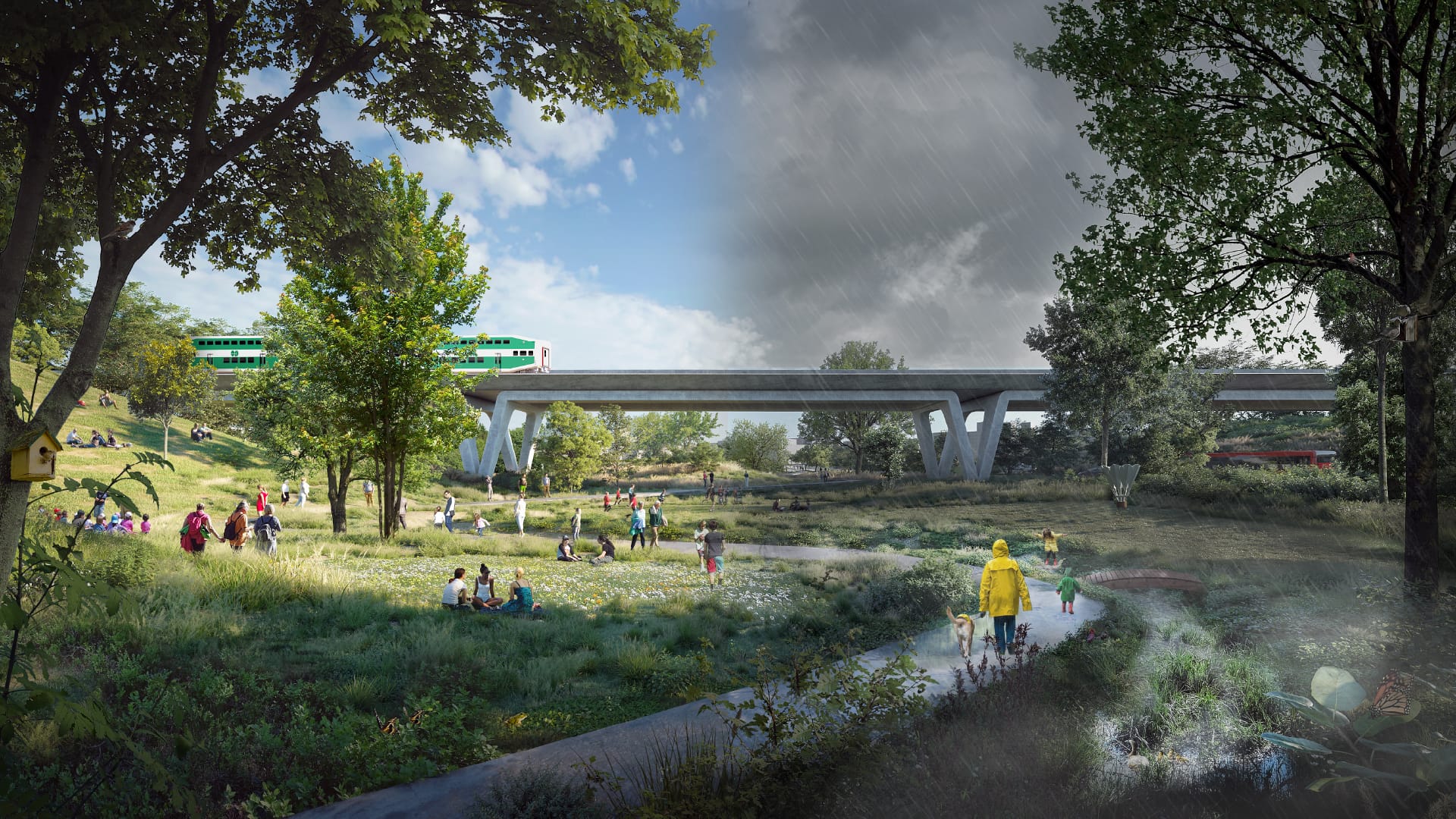 Rendering: Ravine Underpass in Summer and Rain
Challenges and
Opportunities
Introduction
The scale of opportunity is unprecedented. As Northcrest transforms these 370 acres of largely undeveloped lands, the way in which we create places tomorrow, will help address and solve for some of the greatest challenges, today.
Challenges and
Opportunities
Opportunities in
Our Approach
Biodiversity
Biodiversity is decreasingrapidly.
Stormwater Management
Climate extremes are becoming more frequentwith excessive rainfall causing flooding.
Lack of Walkability
The current street design focuses moreon cars than transit, walking or rolling.
Microclimate
Cities are experiencing the "Urban HeatIsland Effect", where buildings and
pavement absorb and reflect back the
sun's heat, resulting in increased
temperatures in urban areas. This
causes discomfort, health issues,
increased energy consumption, and
poor air quality.
Connectivity
For decades, the airport created abarrier for residents to be able travel
with ease across Downsview.
Challenges and
Opportunities
Opportunities in
Our Approach
Biodiversity
Create a network of parks and greenwaysthat are connected to each other to
increase and accommodate biodiversity.
Stormwater Management
Implement a site-wide"nature-based" approach that
integrates nature, landscaping
and storm water management in
places like parks, roofs, and
streets, in a way to effectively
manage rainfall where it lands.
Walkable Cities
Daily necessities and services, such as work,shopping, education, healthcare, and
leisure will be easily reached by walking,
rolling or cycling.
Microclimate
Introduce a robust network of greenfeatures including trees, parks, and
green roofs that absorb heat and
provide shade, making our cities
healthier and more sustainable.
Connectivity
The pedestrian, cycle and street networkswill re-connect people with the former
airport lands, across the rail corridor, to
Downsview park and to the city beyond.